Wigan Album
Pemberton
7 Comments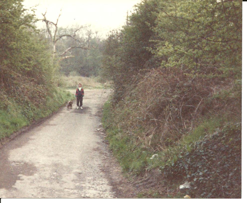
Photo: tom cheetham
Item #: 16516
Last time I was down there. There where two houses at the bottom and a couple of pear trees<g>
wes ron the houses used to draw there own water from a well.
Used to be an owd barn at the bottom on your left where you go towards the brook which i remeber someone drove an owd bubble car into when i was a kid. All overgrown down there now i bet?
Many a happy memory walking down Brooke Lane to the woods.
Originally part of Clarke's wagon rd which ran from "...Winstanley, across a stone viaduct known locally as 'The Arches', over the valley at the Pingot near to the present bridge over the the Wigan to Liverpool main line, and from there it ran to a point near the junction of Bradshaw St and Ormskirk Rd, a place formerly known as 'The Gosspis'. From there it ran in a straight line to a point near Bell House Farm, where it followed Presott Lane, truned off at Eccles Rd and went past the Baiting Houses and on to the pier head on the canal a quarter of a mile west of Crooke Hall." Here was " the site of the operation of one of the world's earliest successful locomotives . . . in 1812 he [enineer Robert Daglish] converted the old wagonway to iron rails and stone sleepers with a view to running a rack locomotive of Blenkinsop's design on it"
Fascinating ! :)
Sorry forgot to say that all the quotes above are from the excellent "Orrell Coalfield, Lancashire 1740-1850" by Donald Anderson - a brilliant book and one I refer to regularly
If I remember correctly, the 1849 OS map shows the old railway line crossing The Arches Viaduct and then going up to Oldhams Fold across the fields to the west of Brook Lane, not up Brook Lane itself.