Photos of Wigan
Photos of Wigan
Album Contents
Album Contents
Wigan Album
Wigan Flood Alleviation (FAS) Phase 1&2.
1 Comment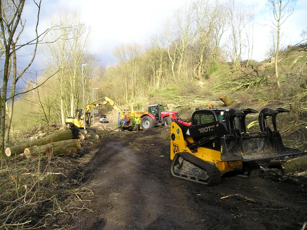
10-02-2010-Trees Removal.
Photo: Barrie.
Photo: Barrie.
Views: 2,949
Item #: 32661
Item #: 32661
The main footpath towards the plantations had to be closed to enable the contractors in to cut and fell the mature trees in the footprint of the dam.
I know it is not something that we agree with but compare this to the photographs taken by me in 2018 and see how nature has reclaimed the area.
Looking on Google Satellite view the new pathway is labelled Woodland Grove.
I know it is not something that we agree with but compare this to the photographs taken by me in 2018 and see how nature has reclaimed the area.
Looking on Google Satellite view the new pathway is labelled Woodland Grove.
After my comment about the name of the path, I started to look at the old maps of the area online and on the 1930 OS map there are no trees showing but what looks like a public house (PH) shown near to the river. On the 1938 OS map it shows no PH but trees have been planted and the path named Woodland Grove from the bottom of Coppull Lane to Bottling Wood. You are never to old to learn something new even when one is old.
Leave a comment?