Photo-a-Day (Wednesday, 7th August, 2019)
Coal Truck
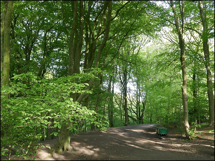
Photo: Mick Byrne (Panasonic DMC-TZ100)
Beautiful, the times I walked that path in my school days.
beautiful but I don't know where Mill Dam woods is
Took a walk past here in June -the 1st time since the late 60's. How the area has changed.At least the footpaths are still there that we "kids" used to roam past John Pit/Giants Hall and out to Standish Lower Ground.
Couldn't make my mind up whether the trucks were old stock or replica's. Any answer?
Barrie I think they brought them in from somewhere else, but there is one of the original trucks in Crooke village, that was dug up from near to the John pit entrance.
Barrie just remembered, you can see a photo of the one in Crooke on Photo-a-Day Monday, 18th September, 2017
Wasn't it there we walked from 'Shevvy' through to Standish, doing that we saved our 2d busfare which we spent in Gray's shop?
Kath, Mill Dam woods are between Standish Lower Ground & Shevington and followed the Mill Brook stream. John Pit Colliery used to be adjacent to it. Access to the woods can be from Wigan Lower Road/Lane or from Standish Beech Walks following the marked footpath across the fields, As children in the 50's & 60's this was a regular walk & play area.
Barrie was that not the path we took from school to Standish which brought us out at what we called the white road?
Linda, as I didn't have the pleasure of attending Shevy school ( mine was Gidlow) I assume the path from the old bridge further on from this shot veered left out towards Wigan Lower Lane and Shevington Lane. I noticed on my walk that it was an housing estate just beyond the "old bridge" as was, The old maps of 1960 show just a path out to the main road.Never heard it called "the white road" before.
The narrow footpath going up to the hermitage was at one time made of concrete and used by lorrys removing coal from the open cast mine
Maybe it was this road that Linma is on about
When we got to the white road my friends went left as they lived in the centre of Standish, I went right going to Wigan Road.
Linma, I know where you were talking about now and yes from "Shevy" the path came out (and still does) onto Beech Walk and Green Lane past the water tower and cricket ground.In those days,I do not remember them being surfaced.
Barrie you can still see the concrete in places,