Places (Help with places, streets and buildings in Wigan.)
I have recently acquired a set of photographs and maps relating to the building of the Heinz factory. The aerial views show the site clearance and building.
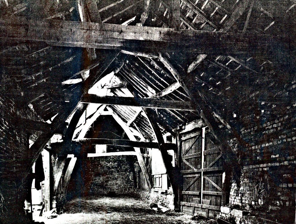
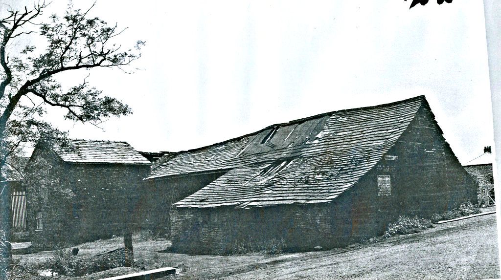
These two photographs are of a farm barn demolished as part of the project. The street sign on the side of the barn is Prescott Lane together with an advert for Pemberton fair.The photograhs were taken in 1955.
It's pity the barn was demolished.
A 1953 ordnance survey map was specially reprinted in 1963 to show the major road changes. It gives some wonderful detail of a large area including the Garswood Hall collieries.
The map shows the outline of the land purchase for the factory and solves a disputed topic on WW some time ago.
The factory building is on the Wigan side of the old borough, urban district boundary. The trailer park and old warehouse are on the Orrell side.
Replied: 30th Jul 2012 at 17:09