Wigan Album
Great George Street
4 Comments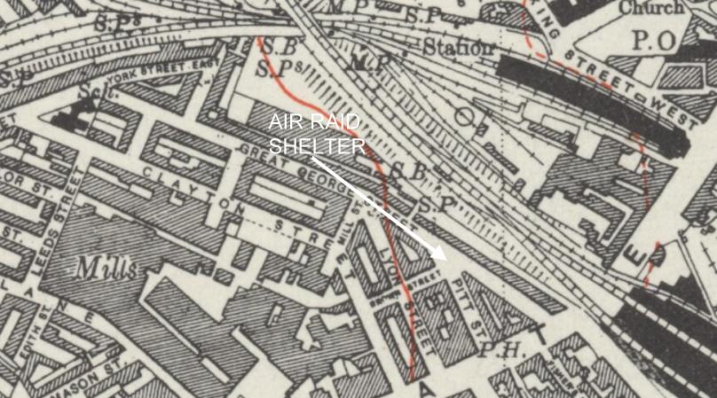
Photo: RON HUNT
Item #: 30400
What does the red line indicate?
Very strange representation of The railway. Walgate's tracks shown as two line entering the bay, but only a single track for each direction of the through lines. Similarly, NorthWestern indicated with five through lines, as indeed there were prior to electrification, but no line into the North-facing bay.
The map looks to me like an extract from the Ordnance Survey 1:10560 Scale Series - 6 inches to the mile in old money. (More modern plans are now produced in the metric 1:10,000 scale.) The red lines are contours, and as far as I can remember were shown at 25 feet intervals. The solid lines representing the contours at the level in the 100's of feet and the broken lines at the intervening 25 feet levels eg. 125, 150 and 175 feet etc.
Hope this helps.
Yes, that does ring a bell. Thanks for the info, Mike.